UFO? No, but mystery of weird object flying over Alabama solved
People in parts of Alabama have reported a large – and definitely strange – object in the sky in recent days.
It’s no UFO, however. Instead, it’s all part of a mapping effort by U.S. Geological Survey and the Geological Survey of Alabama.
The two groups have partnered in using geophysical technology as part of the USGA Earth Mapping Resource Initiative, or EARTH MRI, project.
The equipment includes a helicopter pulling a large hexagon-shaped sensor equipped with mapping technology. The helicopter and towed equipment fly along pre-planned flights paths that are relatively low to the ground – roughly 100 to 200 feet above the surface.
According to the U.S. Geological Survey, sensors in the hexagon measure small electromagnetic signals that are used to map geologic features below the Earth’s surface.
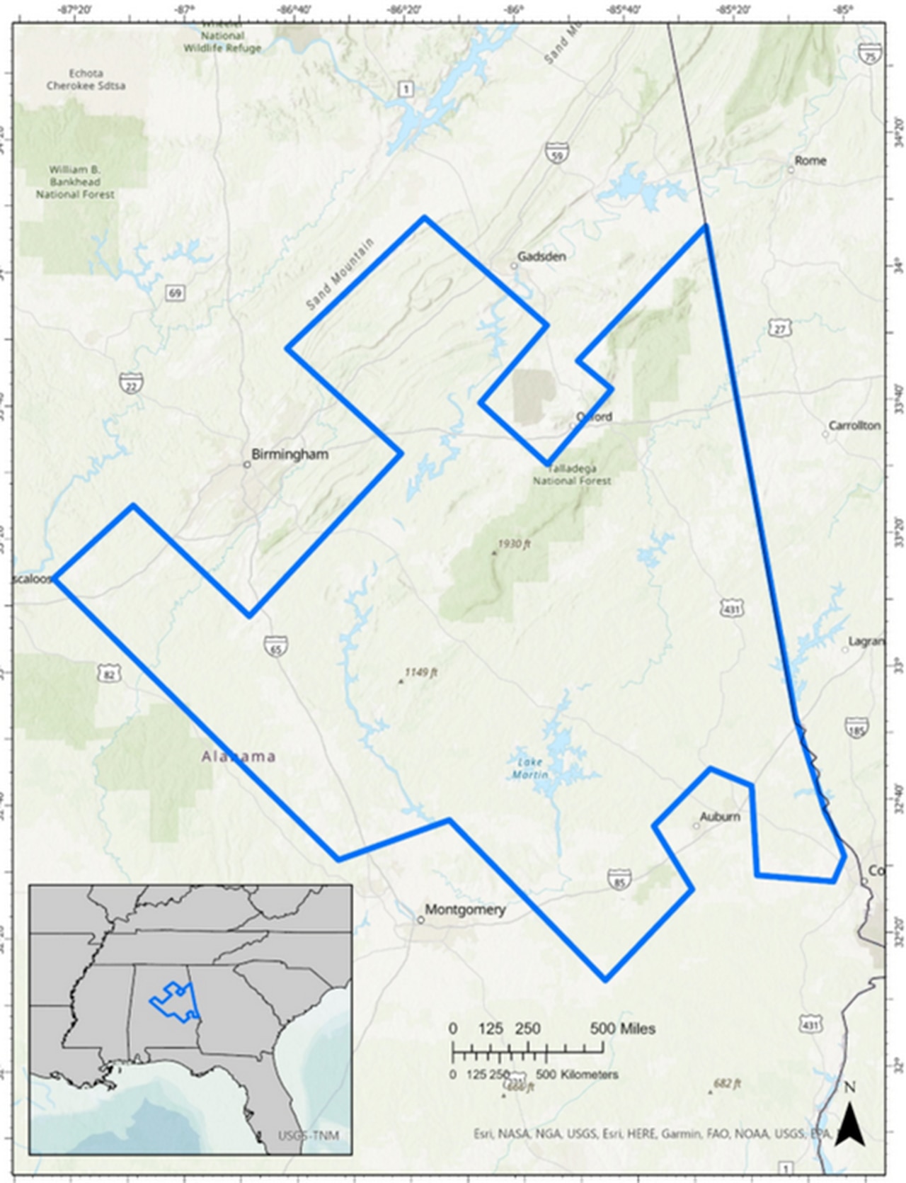
The survey is being conducted in the coming weeks over parts of Autauga, Bibb, Blount, Bullock, Calhoun, Chambers, Cherokee, Chilton, Clay, Cleburne, Coosa, Elmore, Etowah, Jefferson, Lee, Macon, Marshall, Randolph, Russell, St. Clair, Shelby, Talladega, Tallapoosa and Tuscaloosa Counties.
None of the instruments pose a danger to people or animals, officials said, adding the aircraft are flown by experienced pilots that are trained an approved for low-level flying.
Survey flights will only take place during daylights hours and not over heavily populated areas.
A map of the area being surveyed as part of the USGA Earth Mapping Resource Initiative, or EARTH MRI, project.USGS
