Storms move out of Alabama as temperatures plummet
A system that generated a round of severe storms in Alabama on Saturday and Sunday morning has mostly pushed out of the state as of Sunday morning.
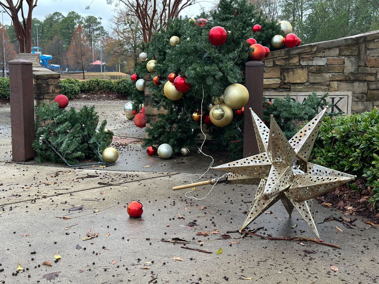
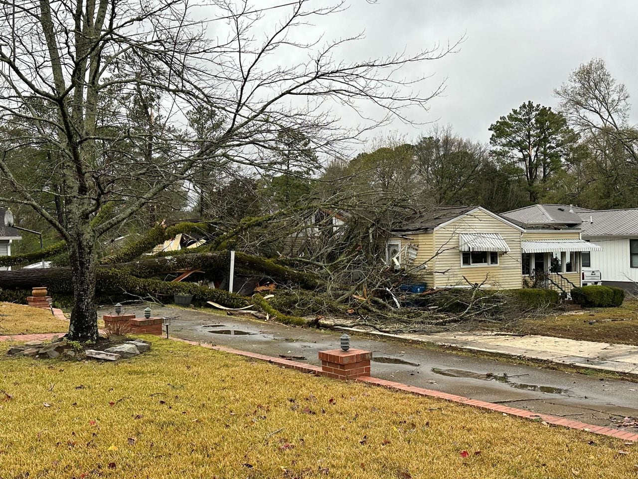
The National Weather Service was still getting reports of downed trees across the state — a few of which fell onto houses — and there have been a few tornado reports, although no tornadoes have been confirmed yet.
The south side of the Birmingham metro area reported countless trees down as a severe storm moved though around midnight. Numerous storm reports have come in from the Homewood, Hoover and Vestavia Hills areas.
The weather service also tracked possible tornadoes through part of southeast Alabama earlier this morning. The weather service has gotten reports of downed trees in Henry County, where two tornado-warned storms moved through early this morning. Trees were also reported down in Barbour County when a warned storm moved through.
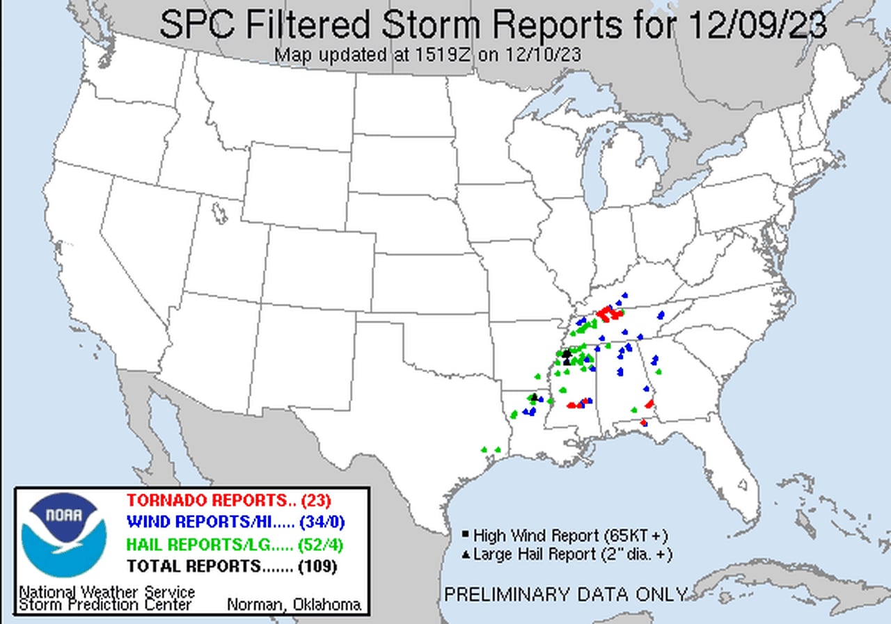
Here is a preliminary look at storm reports from Saturday (the tornado reports still need to be confirmed):

Storms produced several wind and tornado reports on Saturday into Sunday, but no tornadoes have been confirmed so far by the NWS.SPC
The weather service in Birmingham said Sunday morning it has three potential areas that it could survey but was still planning and collecting storm reports. The weather service in Tallahassee, Fla., which covers southeast Alabama, was still tracking storms in its region and has not announced any plans for storm surveys just yet.
The strongest storms have moved out of the state, and there were no tornado watches in effect for the state as of 9 a.m.
Clouds could hang around today but will move out from west to east starting this afternoon, according to forecasters.
And temperatures are expected to plummet through the afternoon and into tonight.
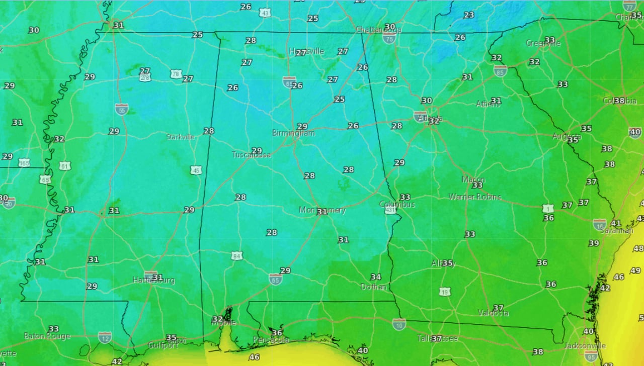
Low temperatures overnight will fall into the 20s and 30s overnight across the state:

Here are the low temperatures expected overnight.National Weather Service
No severe weather is on the horizon for Alabama, with none in the forecast through the end of the work week. The next storm system could arrive by next weekend, according to forecasters.

