Severe storms possible today in Alabama
Strong storms and heavy rain were moving through parts of Alabama on Sunday morning, and some of those storms could become severe later this afternoon.
Alabama has been lucky so far on Sunday. A line of storms was pushing across the state from northwest to southeast ahead of a cold front. While there has been thunder, lightning and heavy rain there have been no storms that have reached severe limits as of 6 a.m.
That could change later today.
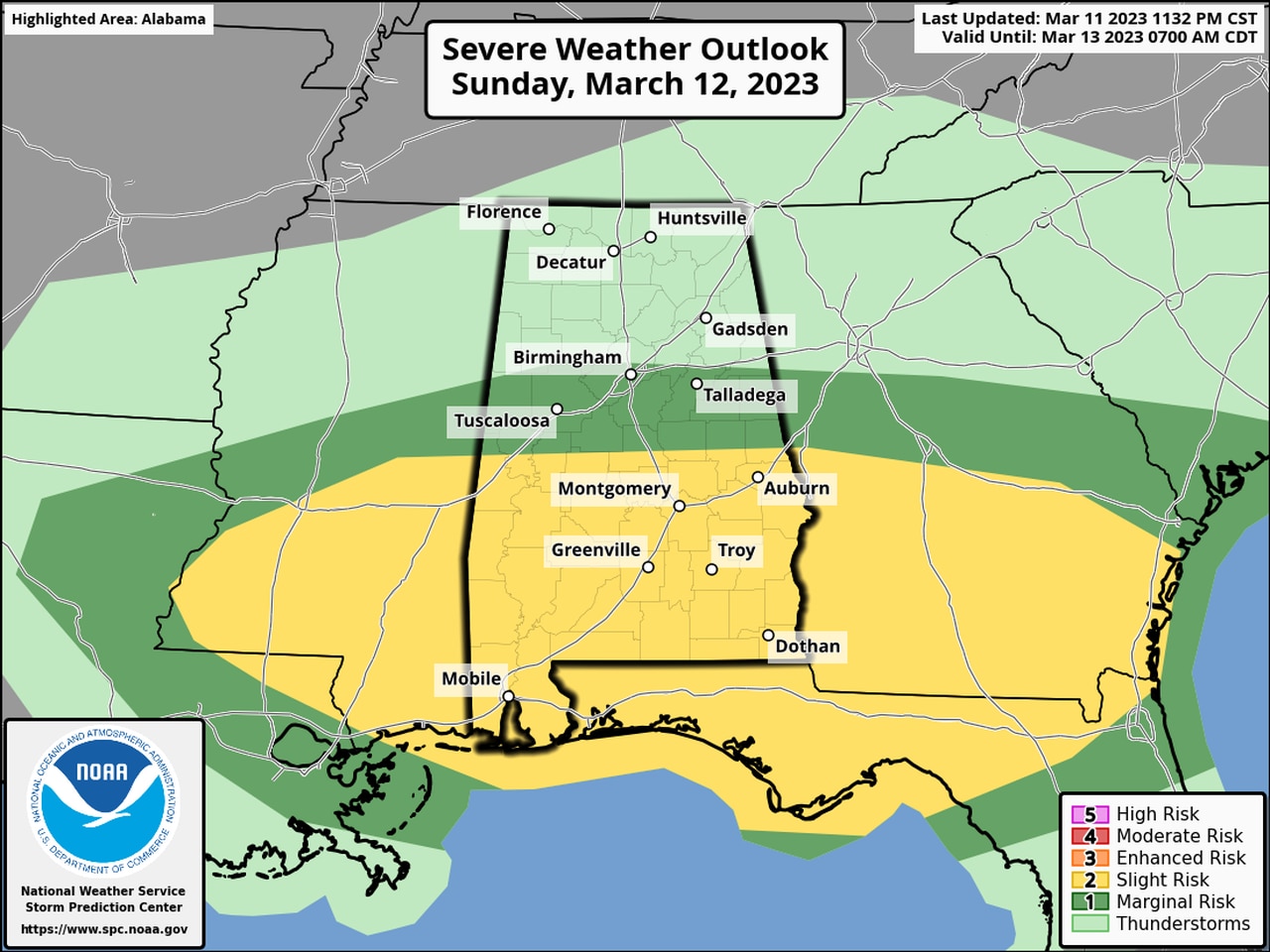
NOAA’s Storm Prediction Center has the southern half of Alabama in a Level 2 out of 5 risk for severe weather today.
A Level 2 risk means that scattered severe storms will be possible.
Strong to severe storms could develop later this afternoon in the warmer airmass in south Alabama, and they could produce damaging straight-line winds, hail and even a tornado or two, according to the weather service.
Wind gusts could be as high as 60 mph, forecasters said.
Scattered rain and storms could move back into Alabama later this afternoon with the actual front, according to the weather service, but no severe weather is expected with the front.
Much cooler air is expected to move into Alabama on Monday in the wake of the front.
The weather service said temperatures will likely fall below freezing in north and north-central Alabama on Monday and Tuesday possibly Wednesday nights, and freeze warnings will be possible in parts of the state.