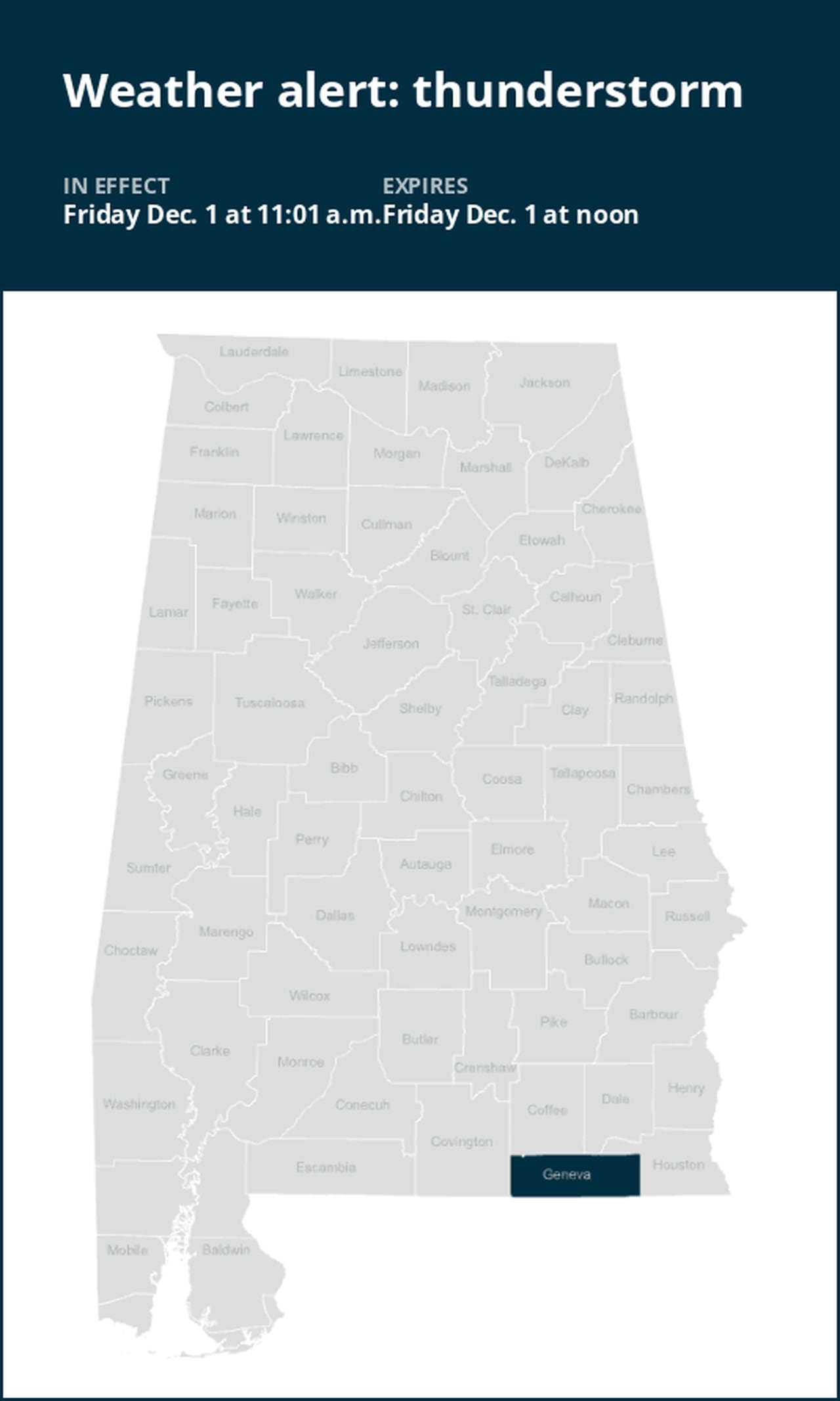
Prepare for strong thunderstorms in Geneva County Friday midday
A weather alert was issued by the National Weather Service on Friday at 11:01 a.m. for strong thunderstorms until noon for Geneva County.
Residents can expect wind gusts of up to 50 mph.
“At 11:01 a.m., Doppler radar tracked a strong thunderstorm near Laurel Hill, or 12 miles west of Florala, moving east at 35 mph,” states the weather service. “Gusty winds could knock down tree limbs and blow around unsecured objects.”
The warning is for De Funiak Springs, Samson, Liberty, Paxton, Cluster Springs, Gaskin, Darlington, Logan Field Municipal A/P, Glendale, Center Ridge, New Harmony, Piney Grove, Caney Creek, Gordon, Earlytown, Hacoda, Pera, Fox Hill, Sand Hill and Weeks.
The weather service adds, “If outdoors, consider seeking shelter inside a building. This storm may intensify, so be certain to monitor local radio stations and available television stations for additional information and possible warnings from the National Weather Service.”
Preparing for impending lightning strikes: Expert safety recommendations
Each year, lightning strikes the United States approximately 25 million times, with the majority of these electrifying events occurring during the summer months. Unfortunately, lightning is responsible for claiming the lives of approximately 20 people annually, as reported by the weather service. The threat of lightning becomes more pronounced as thunderstorms draw nearer, peaking when the storm is directly overhead and gradually waning as it moves away.
To ensure your safety during a thunderstorm, consider the following recommendations:
1. Lightning safety plan:
- When venturing outdoors, it’s vital to establish a clear plan for seeking shelter in case of lightning.
- Monitor the sky for threatening signs and listen for the sound of thunder. If thunder is audible, it’s an indication that lightning is nearby.
- Seek a safe place to shelter, preferably indoors.
2. Indoors safety measures:
- Once you’ve found shelter indoors, abstain from using corded phones, electrical appliances, or plumbing fixtures, and refrain from approaching windows and doors.
- Lightning can follow conductive pathways, and these precautions reduce the risk of electrical surges.
3. Wait for the all-clear:
- After the last lightning strike or thunderclap, wait at least 30 minutes before resuming outdoor activities.
- Lightning can strike even when a storm has seemingly passed, so exercise caution.
When indoor shelter isn’t available:
If you find yourself outdoors without access to indoor shelter during a thunderstorm, take these steps to maximize your safety:
- Avoid open fields, hilltops, or ridge crests, which expose you to greater lightning risk.
- Steer clear of tall, isolated trees and other prominent objects. In wooded areas, stay close to lower stands of trees.
- If you’re in a group, ensure that individuals are spaced out to prevent lightning current from transferring between people.
- Camping in an open setting during a thunderstorm is strongly discouraged. If no alternative exists, set up camp in a valley, ravine, or other low-lying areas. Remember that a tent offers no protection against lightning.
- Do not approach water bodies, wet objects, or metal items. While water and metal don’t attract lightning, they conduct electricity effectively and can pose significant risks.
In summary, when facing the threat of lightning, preparedness and vigilance are your best allies. By following these guidelines, you can significantly reduce the likelihood of lightning-related incidents and prioritize your safety.
Navigating rainy roads: Safety tips for wet weather
Rain can turn roads into hazards. Stay informed and follow these tips from the weather service to ensure safety during heavy rainfall:
Beware of swollen waterways:
- In heavy rain, refrain from parking or walking near culverts or drainage ditches, where swift-moving water can pose a grave danger.
Maintain safe driving distances:
- Adhere to the two-second rule for maintaining a safe following distance behind the vehicle in front of you. In heavy rain, allow an additional two seconds of distance to compensate for reduced traction and braking effectiveness.
Slow down and drive with care:
- On wet roads, slowing down is paramount. Gradually ease off the accelerator and avoid abrupt braking to prevent skidding.
Choose your lane wisely:
- Stick to the middle lanes on multi-lane roads to minimize the risk of hydroplaning, as water tends to accumulate in outer lanes.
Visibility matters:
- Turn on your headlights and be careful of other vehicles to the rear and in blind spot areas as they are especially difficult to see through rain-spattered windows.
Watch out for slippery roads:
- The initial half-hour of rain is when roads are slickest due to a mixture of rain, grime, and oil. Exercise heightened caution during this period.
Keep a safe distance from large vehicles:
- Don’t follow large trucks or buses too closely. The spray created by their large tires reduces your vision. Take care when passing them as well; if you must pass, do so quickly and safely.
Mind your windshield wipers:
- Heavy rain can overload the wiper blades. When visibility is so limited that the edges of the road or other vehicles cannot be seen at a safe distance, it is time to pull over and wait for the rain to ease up. It is best to stop at rest areas or other protected areas.
- When stopping by the roadside is your only option, position your vehicle as far off the road as possible, ideally beyond guardrails. Keep your headlights on and activate emergency flashers to alert other drivers of your position.
By following these safety measures, you can significantly reduce risks and ensure your well-being when heavy rain pours down. Stay informed about weather conditions and heed advice from local authorities to make your journey safe and sound.
Advance Local Weather Alerts is a service provided by United Robots, which uses machine learning to compile the latest data from the National Weather Service.