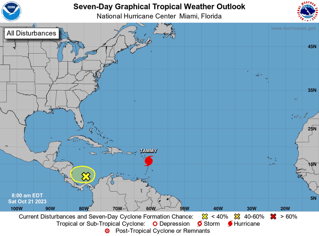
Hurricane Tammy strengthens close to islands
Hurricane Tammy strengthened slightly on Saturday as it doused the Leeward Islands with wind and rain.
Hurricane warnings continued for a handful of the islands, which could get up to 8 inches of rain and 1 to 3 feet of storm surge from Tammy.
Tammy had 85 mph winds and was a Category 1 hurricane, according to the National Hurricane Center. Forecasters said Tammy could fluctuate in strength over the weekend but is expected to stay at hurricane strength while it’s near the islands.
As of 10 a.m. CDT Saturday, the center of Hurricane Tammy was located about 50 miles east-southeast of Guadeloupe and was tracking to the northwest at 8 mph.
On the hurricane center’s forecast track, the center of Tammy will move near or over some of the Leeward Islands through early Sunday. The storm will start moving away from the islands by Sunday afternoon.
The forecast track eventually turns the storm to the northeast and keeps it east of the Bahamas and Bermuda. It is also not a threat to the continental U.S.
A hurricane warning is in effect for Guadeloupe, Antigua, Barbuda, Montserrat, St. Kitts, Nevis, Anguilla, St. Maarten, St. Martin and St. Barthelemy.
A hurricane watch is in effect for Saba and St. Eustatius.
A tropical storm warning is in effect for Saba and St. Eustatius and a tropical storm watch is in effect for Martinique and the British Virgin Islands.
The hurricane center said 4 to 8 inches of rain with maximum amounts of 12 inches will be possible in the Leeward Islands. The Virgin Islands and eastern Puerto Rico could get 1 to 2 inches with maximum amounts of 4 inches.
The hurricane center was also tracking an area of disturbed weather in the extreme southern Caribbean that had a 30 percent chance of becoming a tropical depression in the next seven days. The system is expected to track to the west and into Central America over the next few days. It is not expected to be a concern to the U.S.
An area of disturbed weather in the Caribbean is forecast to move into Central America.
