How many tornadoes hit Alabama on Tuesday?
A few storms continued to plague southeast Alabama on Wednesday morning following a stormy night.
A tornado watch continues for Houston County until 11 a.m. CST. Storms were moving through that area as of 8 a.m.
The rest of the rain and storms are expected to clear out of Alabama today, though some flooding and clouds could linger.
Severe storms prompted multiple warnings overnight.
The Montgomery area was hard-hit, with two injuries and storm damage was reported on the east side of the city.
The National Weather Service has gotten multiple reports of downed trees in Coffee and Dale counties in southeast Alabama after severe storms moved through earlier this morning. More trees were reported down across central Alabama from Tuesday’s storms.
The weather service in Birmingham has announced where it plans to analyze storm damage today in central Alabama.
The weather service said two teams will be in the field today. The first plans to look at damage in Marengo, Hale, Perry, Chilton, Coosa and Autauga counties. The second will head to Montgomery, Macon and another part of Autauga County.
The teams will look at the damage and determine if it was caused by a tornado or straight-line winds. If a tornado is confirmed then meteorologists will assign it a rating using the Enhanced Fujita Scale, which runs from EF-0 to EF-5.
More details on the storm surveys will be released later today.
The weather service offices across the state would love to have any reports of storm damage, flooding or rain totals.
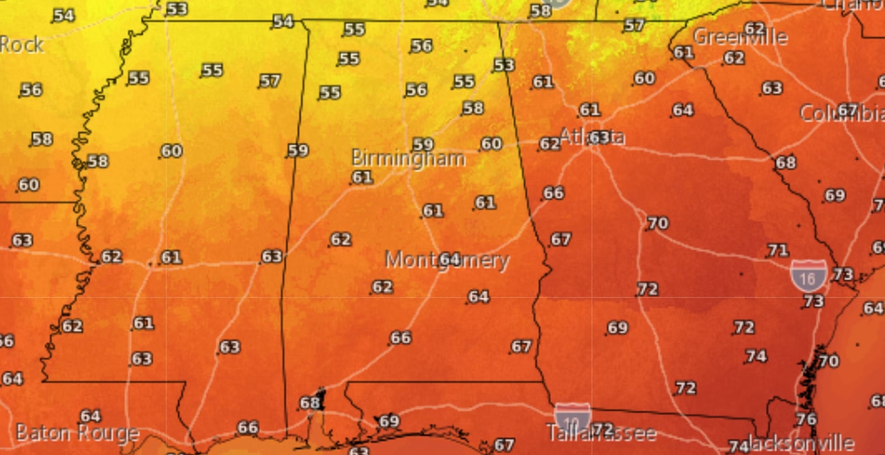
Cooler and drier weather is expected to move into Alabama today following a cold front.
Thursday will be cooler, with high temperatures expected to reach the 50s in north Alabama, and the 50s and 60s in central and south Alabama.
Cooler temperatures are expected on Thursday in Alabama following a cold front.
More rain will be possible during the weekend, but no severe weather is expected.
