Earthquake recorded on Alabama-Georgia line Friday morning: U.S. Geological Survey
A small earthquake was recorded late Friday morning in Georgia near the border with northeast Alabama, according to the U.S. Geological Survey.
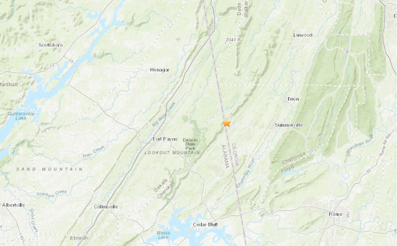
The magnitude-2.0 quake struck around 11:27 a.m. Friday, about 1.2 miles west-northwest of Menlo, Georgia and about 13 miles west-southwest of Fort Payne, according to the USGS.
Earthquakes like the one recorded on the Alabama-Georgia border are known as microearthquakes and are not usually felt by people.
Friday’s earthquake occurred in the Eastern Tennessee seismic zone, which extends across the Volunteer State and into northwestern Georgia and northeastern Alabama. Few earthquakes in the zone have caused slight damage, according to the USGS.
The largest known earthquake in the zone occurred on April 29, 2003, when a magnitude-4.6 quake struck near Fort Payne.