Where’s the line? Mobile officials release four potential annexation maps
On Wednesday, the city of Mobile released four maps, outlining potential territory for the city to annex, after months of debate and speculation about what areas will be included.
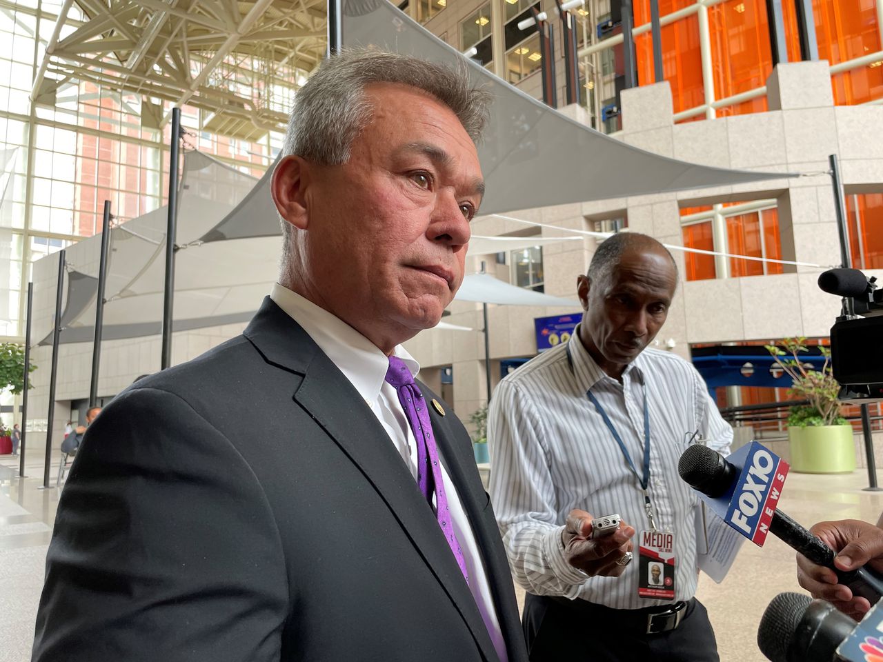
“It takes five of seven councilors to approve to allow the vote in the proposed annexation area, and it failed in 2019,” James Barber, chief of staff to Mayor Sandy Stimpson, said. “So, we’ve been very deliberate in our approach this time, to make sure we have every question answered before we proceed with the completed study.”
None of the maps released will be the final map that the Mobile City Council will consider before authorizing a referendum on annexation. All four maps were sent to the consulting firm PFM Group. Last week, the council authorized a contract with PFM group to complete a validation study of annexation. The study will take place over the next six weeks.
Of the four maps considered, Annex Study Area A would annex the most land and the most people, around 26,000 people. Kings Branch Estates, a subdivision off Moffett Road, Orchard Estates near Howells Ferry Road, communities immediately west of the city limits, as well as a small community off Old Shell Road almost surrounded by the city would all be annexed under Study Area A. The other three maps propose annexing smaller areas, as part of a “phased approach,” Barber said.
4
What territory could Mobile annex?
