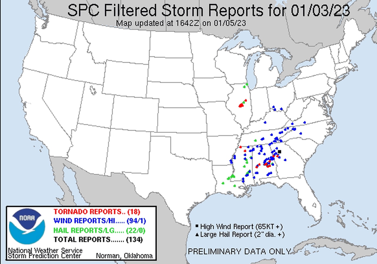
Tornado count likely to climb after Alabama storms
The National Weather Service will continue to assess storm damage today (Thursday) after 2023′s first round of severe weather earlier this week.
The weather service survey teams have already confirmed six tornadoes from Tuesday and Wednesday, and that number will likely climb today.
The weather service in Birmingham said it was sending out two survey teams today. Team one was to look at damage in Clay, Randolph and Chambers counties. The second team is heading to Bibb, Chilton and Coosa counties.
The meteorologists will look at the damage and determine if it was caused by a tornado or straight-line winds. If a tornado is confirmed, then it will be given a rating using the Enhanced Fujita Scale, which runs from EF-0 to EF-5.
The weather service will issue updates today on the teams’ progress.
Here are the six tornadoes confirmed so far:
1. Old Spring Hill tornado (Marengo and Hale counties): EF-1, top winds 90 mph. Path length 8.86 miles; path width 275 yards. No injuries. The tornado touched down Tuesday at 11:21 a.m. and was on the ground for about 12 minutes. The track began along Highway 43 near Old Spring Hill and continued northeast. It peaked in intensity along Highway 54, where numerous trees were snapped. Metal roofing was also tossed into trees. The tornado continued to Highway 80 in Gallion, where it lifted.
2. County Road 29 tornado (Perry County): EF-1, top winds 95 mph. Path length 0.15 miles; path width 100 yards. No injuries. The tornado touched down at 12:10 p.m. Tuesday along County Road 29 northwest of Marion. A manufactured home was shifted off its foundation and a section of roof was taken off. Two people inside were tossed to the floor but weren’t injured. The tornado quickly lifted.
3. County Road 40 tornado (Autauga County): EF-0, top winds 75 mph. Path length 3.18 miles; path width 60 yards. No injuries. The tornado touched down at 1:18 p.m. Tuesday on Old Kingston along County Road 21 north to Poseys Crossroads. A few manufactured homes had some damage.
4. Jordan Lake tornado (Elmore County): EF-2, top winds 120 mph. Path length 9.06 miles; path length 800 yards. No injuries. No injuries. The tornado touched down at 1:42 p.m. and was on the ground for 17 minutes. The tornado touched down in a wooded area near the Autauga-Elmore County line west of Highway 43. It headed northeast and intensified as it reached the Coosa River and Foreman Road, where multiple trees were uprooted, a barn was damaged, and minor roof damage was seen at homes. It continued to cause damage as it crossed Highway 111 near Chase Drive and Toad Road. It began to cross Lake Jordan and downed some trees, some of which fell on houses. The tornado reached its peak as it reached the northeast side of Lake Jordan. Multiple homes had roof damage, and most of the roof was removed from one home. Some boathouses were also destroyed. The tornado tracked along the northeast shore of the lake, causing more trees to fall on homes, damaging dozens. The tornado left the lake and eventually dissipated northeast of Titus Road before reaching Highway 231.
5. Halcyon tornado (Montgomery County): EF-1, peak winds 110 mph. Path length 1.87 miles; path width 130 yards. One injury. The tornado touched down at 3 a.m. Wednesday west of Bell Road near Post Oak Lane, and was on the ground for 5 minutes. It damaged some trees and a carport before heading east-northeast along Eastwood Glen Place. It continued to damage trees and outbuildings along Thach Road and Kathmoor Drive. The tornado briefly reached EF-1 intensity near Meriwether Road and Hollis Drive, where several homes had roof damage and a garage was destroyed. One home had significant roof damage. A few trucks were also possibly rolled. The tornado weakened as it crossed Taylor Road but downed fenses and scoreboards at Buddy Watson Park. The tornado dissipated near Parkview Drive.
6. Deer Run tornado (Macon County): EF-0, peak winds 70 mph. Path length 0.67 miles; path width 75 yards. No injuries. The tornado touched down at 3:25 a.m. Wednesday near Shorter and was on the ground for 2 minutes. It caused minor tree, outbuilding and fascia damage along Deer Run Trail and topped a few metal basketball goals before quickly dissipating.
