Alabama could see snowflakes, but no accumulations
Alabama has the potential to see a few snowflakes starting tonight and lasting into early Saturday, but it won’t be much and it won’t accumulate.
An upper-level storm system will bring the potential for a rain-snow mix to the state starting tonight, according to the National Weather Service. The potential to see some snow will last into Saturday morning.
North and north-central Alabama are the only regions in the state that could see the white stuff.
The weather service in Huntsville said the most likely time frame for precipitation is Friday afternoon and evening — and even then there is only a low to medium chance for a few flakes.
The weather service thinks that most of Alabama will miss out on any accumulations but left in the possibility that the higher elevations of northeast Alabama could possibly see a light dusting or a few tenths of an inch.
The precipitation could cause a few slick spots on roads, according to forecasters.
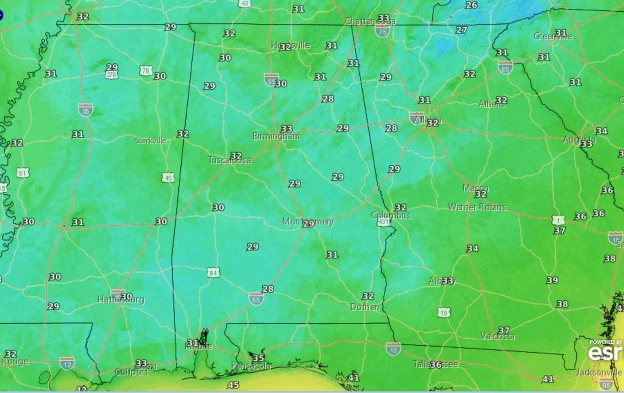
Lows Thursday night into Friday morning are forecast to be near or below freezing for much of the state.
Drier weather is expected starting later in the day on Saturday, but rain chances could rise again by Monday, New Year’s Day.