Hurricane Lee update: Lee weaker but still Category 3
Hurricane Lee was a lot weaker than 24 hours ago but still a major hurricane as it continued on a path westward in the Atlantic Ocean on Saturday.
The National Hurricane Center estimated that Lee had 115 mph winds on Saturday morning, making it a Category 3 hurricane.
Lee peaked early Friday morning with winds up to 165 mph — a Category 5 — before running into wind shear, which weakened the storm.
The hurricane center reminded the public that Lee is still a dangerous hurricane — intense enough that the Hurricane Hunters reconnaissance aircraft couldn’t get through its eyewall at times early Saturday morning to get a better read on its strength. The aircraft will take another crack at Lee later this morning.
Lee is still expected to stay on a path that will take it north and east of the Lesser Antilles and Puerto Rico. The long-range track from the hurricane center, which goes out until early Thursday morning, shows the center of Lee still sitting to the east of the Bahamas by late next week.
The hurricane center expects Lee to slow down considerably through the next few days while maintaining strength. There’s also a chance it could get a bit stronger.
The big question remains: Will Lee eventually threaten the U.S. East Coast? And unfortunately, there is still not a definite answer.
Most forecast models continue to show Lee taking a big turn to the north at some point. If it turns north sooner rather than later it would mean good news for the East Coast. But it’s still unclear when that turn may happen.
“It is way too soon to know what level of impacts, if any, Lee might have along the U.S. East Coast, Atlantic Canada, or Bermuda late next week, particularly since the hurricane is expected to slow down considerably over the southwestern Atlantic,” the hurricane center reiterated on Saturday.
“Regardless, dangerous surf and rip currents are expected along most of the U.S. East Coast beginning Sunday and Monday. Continue to monitor updates to Lee’s forecast during the next several days.”
As of 4 a.m. CDT Saturday, the center of Hurricane Lee was located about 385 miles east-northeast of the northern Leeward Islands and was moving west-northwest at 12 mph.
Lee had sustained winds estimated at 115 mph, making it a Category 3 hurricane.
There were no watches or warnings in effect for Lee, but forecasters warned that dangerous seas and rip currents will be possible for areas in the Leeward Islands, the Bahamas and Bermuda this weekend. Those dangerous rip currents could reach the U.S. East Coast by Sunday or Monday — and the hurricane center added that they could worsen through the week.
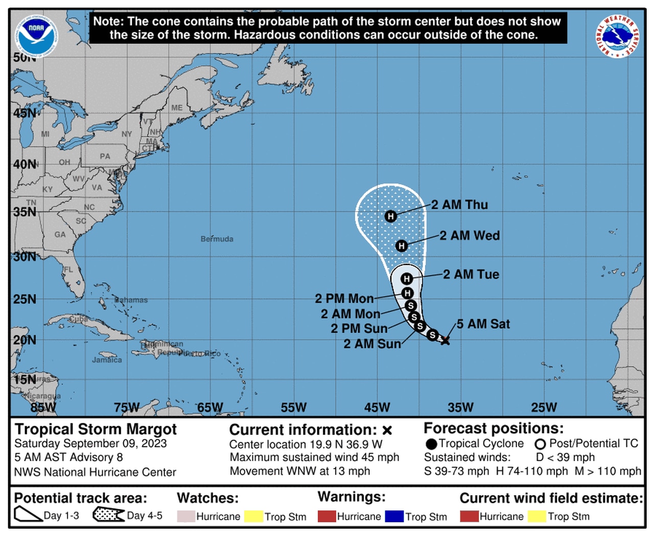
TROPICAL STORM MARGOT
Tropical Storm Margot is not a threat to the U.S. but could become a hurricane next week.
The hurricane center also continued to track Tropical Storm Margot in the eastern Atlantic on Saturday.
Margot is no threat to land but could become a hurricane over the next few days.
As of 4 a.m. CDT Saturday, Tropical Storm Margot was located about 890 miles west-northwest of the Cabo Verde Islands and was moving west-northwest at 13 mph.
Margot was a little stronger on Saturday, with 45 mph winds, but was still a minimal tropical storm.
Margot is not expected to threaten any land areas.
The Atlantic hurricane season will reach its climatological peak tomorrow, Sept. 10, and the last day of the season will be Nov. 30.
There have been 13 named storms and one unnamed storm so far this year. Of those, four have become hurricanes, and three of those (Franklin, Idalia and Lee) have strengthened to major hurricanes, with Lee being the strongest this year.
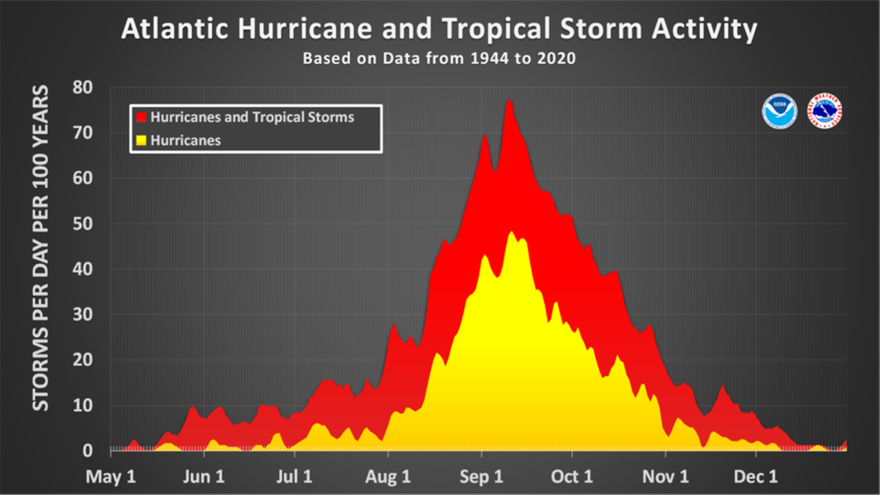
The Atlantic hurricane season typically peaks in September.