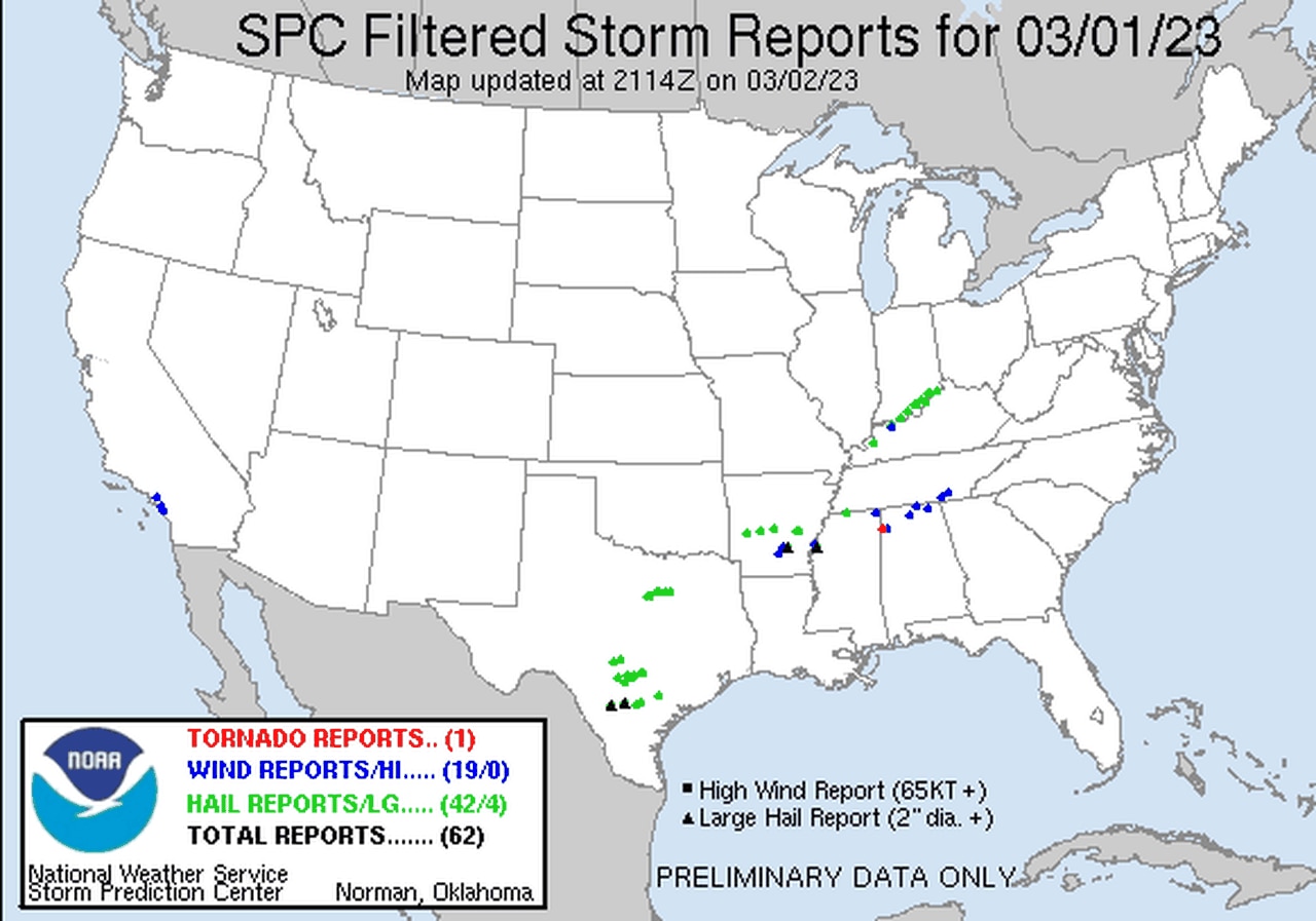
NWS confirms one tornado from Wednesday’s storms
At least one tornado touched down in Alabama during Wednesday’s round of severe weather.
The National Weather Service in Huntsville said a strong EF-1 tornado struck northern Madison County near New Market.
No injuries were reported from the storm.
The tornado had winds estimated around 110 mph, the weather service said. It was not on the ground for long.
The weather service released a preliminary report on the storm on Thursday afternoon.
The tornado touched down at 10:32 p.m. Wednesday and was on the ground for about a minute, but it managed to do a good bit of damage in that time, the weather service said. The tornado had a path length of 0.14 miles and was 25 yards wide.
The weather service said the storm did a “significant amount of damage” to structures along Short Track Drive in New Market. Forecasters said it likely touched down east of Roy Davis Road and quickly lifted east of Short Track Road.
Several houses had roof damage and one home had significant roof loss, the weather service said. A pickup truck was also tipped over.
See the preliminary report from the weather service here.
The weather service issued several tornado and severe thunderstorm warnings late Wednesday night as a round of storms moved from Mississippi into northern and north-central Alabama. The rest of the state remained storm-free.
More strong to severe storms will be possible across the entire state starting on Friday morning as a cold front approaches from the west.